Situation
The utility provider faced significant challenges in managing and maintaining its sewer network, with large sections of the infrastructure remaining unmapped or unvalidated. This lack of visibility hindered operational planning, asset management, and regulatory compliance. Traditional methods for mapping the network, such as manual surveys, were time-intensive and costly, making it difficult to achieve the necessary level of detail across the entire system. A more innovative, efficient approach was needed to improve asset visibility and support predictive maintenance while reducing operational overheads.
Task
The objective was to explore, validate, and create a business case for using drone-mounted thermal imaging technology to map unmapped or poorly validated sections of the sewer network. This method aimed to identify manholes by detecting temperature variations between them and the surrounding ground, offering a faster, more scalable alternative to manual mapping.
If successful, this approach would enhance operational visibility, provide more accurate data for infrastructure planning, and support long-term predictive maintenance efforts.
Action
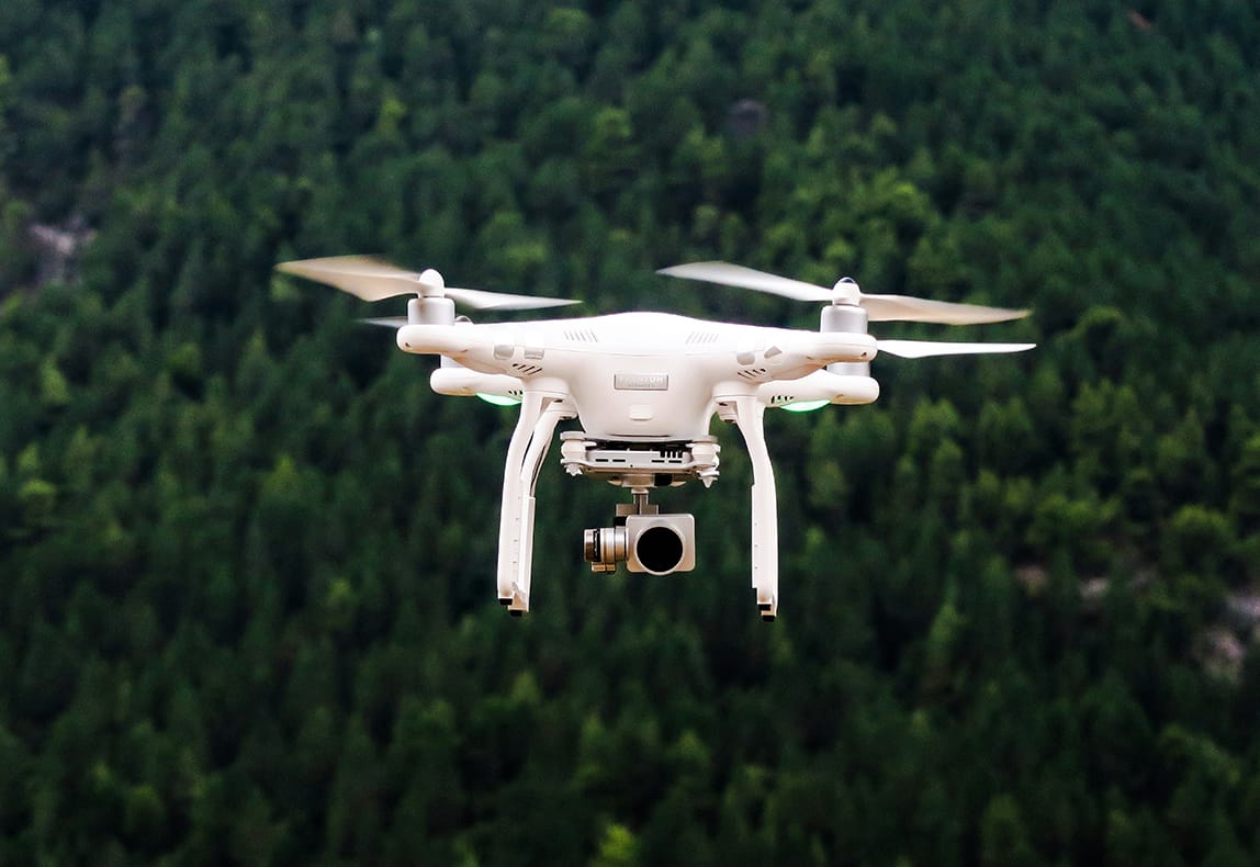
A proof-of-concept trial was designed and executed, utilising 3D-printed drones equipped with state-of-the-art thermal cameras. The drones were deployed to scan sections of the sewer network from the air, leveraging temperature differentiation to identify manhole locations rapidly and accurately.
The process involved refining flight paths to optimise data capture and minimise environmental interference, such as vegetation or surface obstructions. The thermal imaging data collected during the trial was integrated with existing network models, adding a new layer of validation to the utility provider’s asset database. This trial not only demonstrated the feasibility of the approach but also helped refine the mapping techniques, ensuring they could scale effectively for broader deployment.
The initiative included collaboration with multiple stakeholders, including operations, engineering, and regulatory teams, to align the technology’s potential with the organisation’s broader infrastructure goals. This cross-functional effort ensured the solution could integrate seamlessly into existing workflows and deliver measurable benefits across the business.
Result
The trial successfully validated thermal imaging as a viable method for identifying sewer infrastructure, proving its potential to scale across the wider business. This approach significantly improved the percentage of mapped and validated network assets, reducing reliance on manual surveys and associated costs.
Operational efficiency was enhanced, with faster asset identification supporting proactive infrastructure management and compliance with regulatory requirements. Beyond its immediate application, the trial highlighted the potential for thermal imaging to be used in other contexts, such as detecting leaks, bursts, or additional hidden assets within the network. The initiative positioned the utility provider as an innovator in leveraging advanced technology for smarter, more cost-effective asset management.
Would you like to speak to me about a project like this? Get in touch.

